Ohlone Wilderness Trail (28 mile point-to-point hike)
| Ohlone Wilderness Trail | |
|---|---|
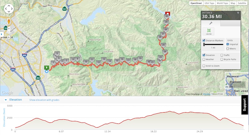
| Distance | 28.0 trail miles (~30.4 total hiked) |
| Total elevation gain | ~7600 ft |
| Trail type | point-to-point |
| Time | 26 hrs 45 min |
| Conditions | Clouds, sun, high 60ºs |
| Fee | $13 parking & reservation, $2 trail permit |
| Companion(s) | none |
In a nutshell
Trailhead: Stanford Ave Staging Area, Mission Peak Regional Preserve.
Route: Mission Peak Regional Preserve (Stanford Ave Staging Area) → Del Valle Regional Park (Lichen Bark Picnic Area). This is a point to point trail. Follow the markers that say “Ohlone Wilderness Trail”.
Background
The Ohlone Wilderness (Regional) Trail has been calling my name for half a year. It’s a 28 mile point-to-point hike going from the Mission Peak Regional Preserve in Fremont, CA, through Sunol and Ohlone Regional Wildernesses, and ending in Del Valle Regional Park in Livermore. It climbs past two tall-ish peaks with splendid views on clear days (Mission & Rose Peaks), winds through oak forests and rolling hills, and ends at a large reservoir: Lake Del Valle.
The trail is named after the Ohlone (or Costanoan) people, who lived in the San Francisco Bay, Santa Cruz, and Monterey Bay areas at the time of European colonization. Both terms are exonyms for the native communities in the region, who spoke related languages.
I knew I wanted to do an overnight trip as part of my pre-PCT shakedown, and this one looked tempting, as it was close — only about an hour to each terminus from my place — and challenging. After the gorgeous Mount Diablo hike the previous week, I decided to go for it now, while the hills were still green, and the heat not yet blistering.
My friend Heather had introduced me to the Ohlone Trail in September 2013. We headed out to Del Valle Regional Park in Livermore and did a day-hike around the park, partly on the Ohlone Trail, partly on other fire roads. I remember heat, cows, and getting briefly lost on the identical fire roads. I remember being amazed at how isolated the trail felt once the city was no longer visible over the hills.
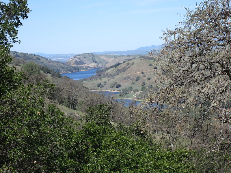
Looking north down at Lake Del Valle from the Ohlone Wilderness Trail.
I returned to Del Valle in January to do a solo hike up to Murietta Falls, partly via the Ohlone Trail. Though it is the highest waterfall in the Bay Area, this was purely theoretical for me, as Murietta had no water at the time — no falls. I am jealous of other hikers who have gotten to see it in full force — maybe another year for me. My legs got a great workout going up up up the 4000+ feet of ascent to the falls, and I only fell down once on the steep dusty fire roads.
Preparations & Goals
Remembering the crowds at Mount Diablo on a Sunday, I decided to tackle the hike during the week instead. I was able to make a campsite reservation over the phone; since I was calling only 4 days before my hike, I opted to drive to the East Bay Regional Park headquarters, 15 minutes away in Oakland, to pick up my overnight car permit.
The trail permit itself is a map of the trail sold for $2; it’s good for a year after that. I had picked one up in Del Valle in September 2013, so I was all set.
This being a shakedown for the PCT, I had a few goals:
- Try out some gear: trekking umbrella, bivy sack, merino wool skirt, maybe tarp if the weather required
- Eat a planned day’s worth of PCT food, and see what I was dreading on Day 2
- Push the mileage and see what it was like to hike until the sun goes down
Russell made plans to borrow a car from his parents, so that we could leave our car at the end of the hike while he dropped me off at the start.
The Hike
Day 1
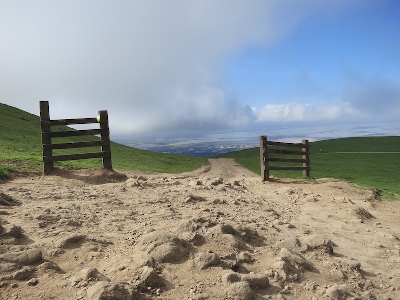
I woke up bright and early on St. Patrick’s Day, and headed out with Russell to do the car shuffle. I forgot to calculate the amount of time it would take to get from the Livermore terminus to the Fremont end, and so didn’t arrive at the Stanford Ave staging area of Mission Peak Regional Preserve until 9:30 am. I said a quick goodbye to Russell, and headed off up the slope.
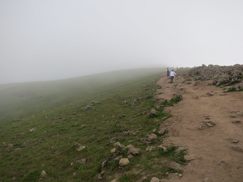
Day hikers climbing up the steep trail to Mission Peak in the morning fog.
The trail rose quickly up the mountain, and I passed a good number of day hikers. The fog was thick that morning, and had yet to burn off by the time I got to the summit. I had scrambled up the broad eroded side trail to the peak, so took the established trail down to even out my trail karma. I didn’t stop and read my map, though, and trotted right past the correct junction, merrily down the wrong trail.
It took me about a mile, mile and a half of steady downhill before I finally pulled out my phone and checked my location via GPS. Sure enough, I had taken the Peak trail down towards Ohlone College (just BTWs, Ohlone College ≠ Ohlone Wilderness Trail), and now had to reverse my tracks back up the lovely hill I’d sauntered down. I passed a few young women on my way back who asked if I was hiking the whole trail. They said “Cool!” when I replied in the affirmative.
In all, this detour cost me 2.75 miles extra and between 1 and 1.5 hrs of daylight. It was a lovely path though. No harm, no foul.
Ground squirrels scampered around in the open area around Mission Peak itself, their brown hills interrupting the solid green of the landscape. Cattle wandered the trails, looking up briefly from their near-constant grazing to stare blankly at me, then return to the grass.
Once I hiked around the base of the peak, the trail exited the Preserve and entered S.F. Water District land. I signed in at the trail register, petted a lovely German Shepherd and chatted with its owner, and headed off. This next section of the trail is dotted with signs to stay on the path, as it’s not public land. The oak trees were starting to leaf out; moss hung from branches, adding a lighter shade of green to the palette.
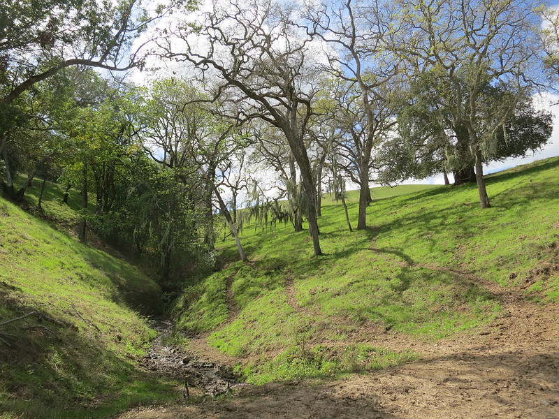
Moss-draped trees shaded little gullies in the S.F. Water District parcel.
I pulled out my Chrome Dome in this section and gave it a go. I had left my hat at home to force myself to try out the umbrella; perhaps not the brightest idea I’ve ever had. In still air, I loved the coolness beneath its shade; in wind, I had to rotate the umbrella to avoid snapping another strut. This blocked out more scenery than I would have liked.
As I drew closer to the Calaveras Road crossing, I put away the umbrella and switched my hands up to rest in the straps I’d pulled off my ULA pack. I had found that I like having somewhere to rest my hands while hiking, and these straps are perfect for it. They didn’t, however, like to stay on the daisy-chain webbing on my pack’s shoulder straps, and kept popping off. A few hundred yards before the road crossing, I realized one was gone, and hiked back a few minutes before finding it, lying on the ground where it had jumped to freedom.
About halfway through this section, I met a couple who were hiking the trail from Del Valle to Mission Peak. The fellow had a familiar shiny silver umbrella stashed on his pack. Backpackers, man, we’re not very original sometimes.
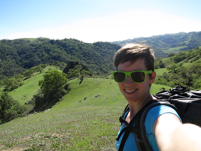
Enjoying the rolling green hills along the Ohlone Trail.
The Sunol Visitor Center had jugs of potable water set out by the public restrooms, so I tanked up before continuing east. I found the trails a bit hard to follow, close in to the Sunol Headquarters, and kept my map in my hand until I was well out of the busy section. There were quite a few more day hikers in this section, one of who wished me a Happy St. Patrick’s Day. No pinches, thankfully.
The Sunol Wilderness was more green rolling hills. And cattle. Plenty of cattle. Looking through my photos, I am hard pressed to tell which is Mission Peak, Sunol, Ohlone, or Del Valle (other than by sequence and time stamp). Who cares, though? It’s all beautiful, in a delicate pastoral way.
The landscape started to have more dramatic views as I hiked further east. I climbed up ridges and could see across valleys. The wind tried to knock me off a few of those ridges, so my umbrella stayed stashed for the rest of the day. These wee yellow beauties bobbed along just fine in the hearty gusts, though. They must be used to it.
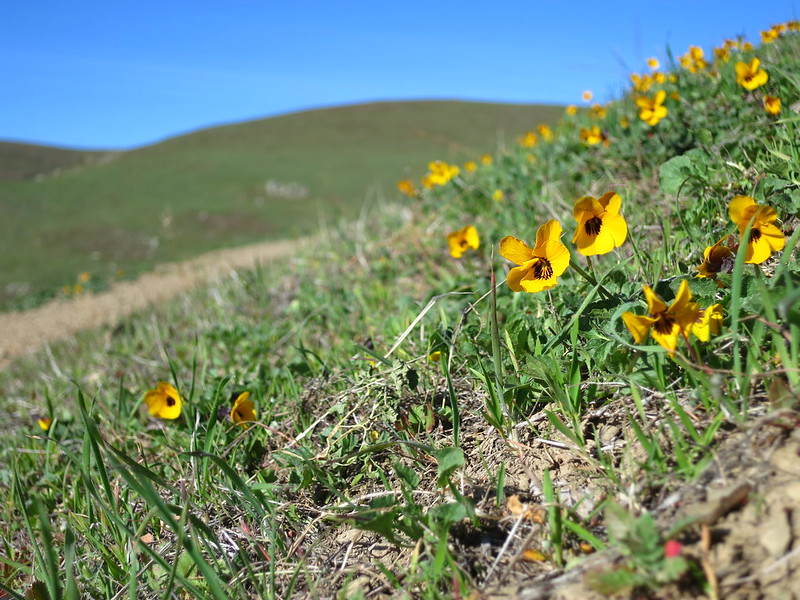
California Golden Violets on a windy hillside in the Ohlone Regional Wilderness.
Most of the cattle I saw were indifferent to my presence. Some appeared miffed, like the nursing cow-calf pair that I had to shoo off the trail to pass. A few small herds took one look at me and bolted, in their bouncy slow-run bovine gait.
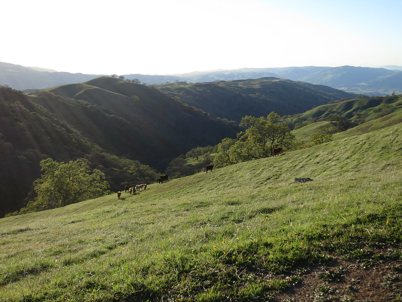
Cattle fleeing as I approached on the Ohlone Trail.
My hiking mantra of late has been “How about I keep going.” I stopped briefly for snacks every few hours to keep my energy up, and as the day grew long, I kept going. My hiking mantra of late has been “How about I keep going.”At the Sunol Backpack Camp area, I inspected the outhouse and wandered up a trail towards a campsite to fill up my water bottles. From there, I was committed to making it to at least the Doe Canyon Horse Camp in the Ohlone Wilderness, the next water source. I told myself I could stop there if I was exhausted, but was pleased to feel strong enough to keep going.
I started checking the map more frequently as the sun got lower, and ticking off the numbered markers as they came. Marker 24, only 4 to go! Marker 26, Doe Canyon Horse Camp — I can keep going. Marker 27, almost there.
At Marker 28, the turn-off for Maggie’s Half Acre, I sat in the lee of a craggy boulder and ate my dinner. The beans were good, though sticky. I prefer the bean soups for ease of preparation. The olive oil was tasty, but I did manage to spill it. You’re welcome, little creatures who slurped that up. I pulled out the wind shirt I’d been gifted for Christmas (thanks, Mary & Rich), and tried to keep warm as I inhaled the food.
The setting sun was turning the western horizon rosy shades when I turned down the side trail to the campsites around 7:15 pm. I hadn’t seen anyone else on the trail in hours, so had the pick of the sites. I found a well-shaded spot nestled in some pines and threw down my bivy sack and bag, after wrinkling my nose and moving the pair of boxer shorts left there. I braced against the cold, changed into my warm long johns, and forced myself to brush my teeth and journal.
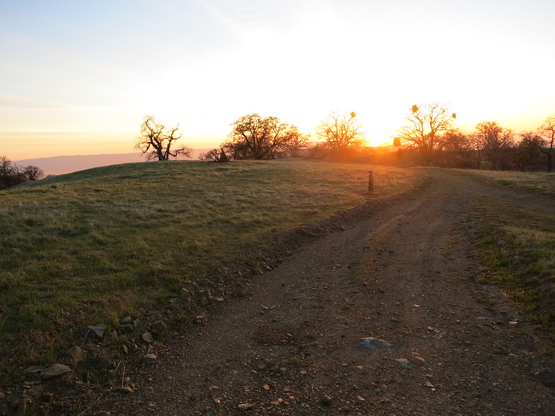
The setting sun from the Maggie’s Half Acre camp turn-off at marker 28 on the Ohlone Wilderness Trail.
I had already put in my retainer when I realized I had planned to eat one final snack. Oh well. The bivy sack blocked the small breezes that made it through my snug copse of pines, so I didn’t need the extra warmth that eating might have provided.
According to Map My Run, I had walked about 20.3 miles, detour included, and climbed 6560 feet — hands down my longest day yet, longer than any on the JMT. With my extended-wear contacts still in, I went to sleep sneaking glimpses of the stars for the first time since needing glasses 21 years ago.
Day 2
In the past, I’ve been pretty awful at sleeping outdoors. It gets easier the longer I’m out, and I remember liking it after the fact, but actually doing it is always a struggle. This night was no exception. I tossed and turned, hearing the wind howl around me (though not hitting me, thanks to my campsite selection). It was one of those nights where it felt like I didn’t sleep at all, and then BAM, it’s morning.
The wind made me reluctant to get up, so I got a bit of a late start, not leaving the site until 7:30 am. I left my long johns on under my skirt, and threw my wind shirt back on over my shortsleeve. I wolfed down a breakfast bar as I fought the increasing blows up to the nearby summit of Rose Peak. The hood of my wind shirt was being inflated into a sphere, and every hanging tail of webbing or cord was pummeling my face and arms. Not so fun.
The view was worth the work — 360º around the Bay Area. I could see Mount Diablo to the north, Mount Tam over in the west, the Bay shining before the glinting skyscrapers of San Francisco. No clouds blocked my sight lines that morning, and I took a few minutes to turn in a circle and soak it all in before hauling my ass off the blustery summit.
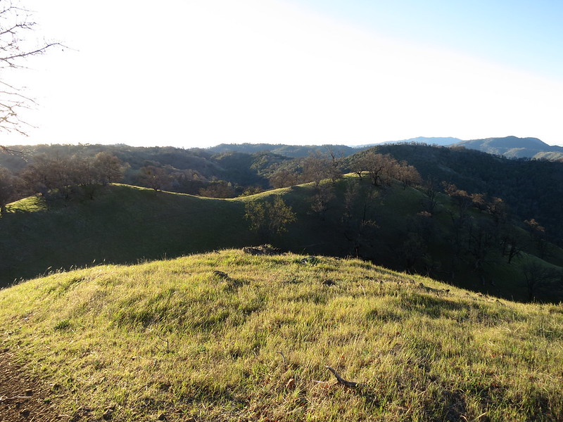
Early light over the hills in the Ohlone Regional Wilderness.
The morning down from Rose Peak went quickly. I was now heading generally north, or thereabouts. I would see a wooded valley, and a ridge across the way, and know that the trail would take me down to the bottom and up the other side. I repeated this several times, until I got to the portion of the trail I had been on before.
From there out the trail felt inexplicably more do-able. The hiking didn’t feel any harder on the second day, but the wind was playing with my spirits, and I found the familiarity comforting. There was no question of using the umbrella, so I felt lucky not to feel too much heat from the sun.
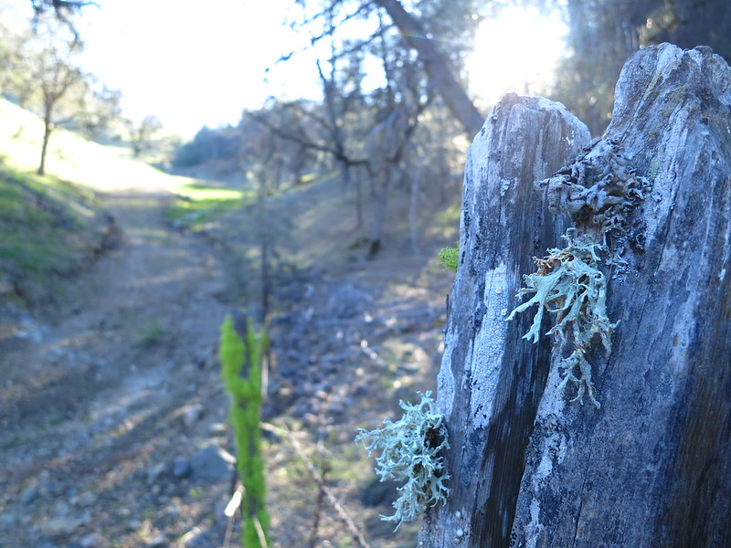
Old fence posts sprouting lichen and moss on the Ohlone Trail.
Moss in the valleys and flowers along the trail kept the scenery interesting. The disturbed earth next to the path seems to be a favorite for shooting stars, borages, orange brassicas, and enough other blooms to keep this botany enthusiast in constant distraction mode.

Delicate blue flowers of the Western Hound’s Tongue in the borage family, along the Ohlone Trail.
As I climbed up a hill sometime before Johnny’s Pond, I came upon a pair of coyotes. Unlike the skinny hunters near Forester Pass, these russet beauties were sleek and filled-out. Without Russell there to be the voice of caution, I took my time getting out my camera and snapping a few shots. They looked at me, then trotted over the ridge.
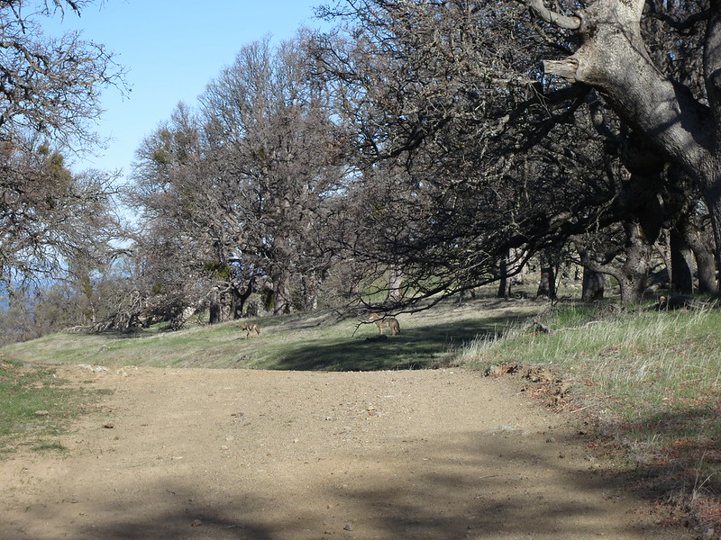
A pair of coyotes along the Ohlone Trail.
It seemed prudent to give them some space, so I took a few minutes’ break. Off came my wind shirt, and in went a few more snacks. After 3 or so minutes, I crested the hill to find them still close by, off to the left of the trail now. Hmm.
I walked forward cautiously, reassuring myself that they had plenty of ground squirrels and didn’t need to add Alice to the menu. When one of them stayed still and the other one padded off behind me, I didn’t like feeling flanked, and walked a little quicker to get past them.
That was the last I saw of them. Beautiful, and a bit unnerving.
The hills got drier the further north I walked. Turkey vultures ruled the skies, gliding in venues of 3 to 7, sometimes dipping low enough for me to clearly see their pink wrinkled heads and generous wingspans.
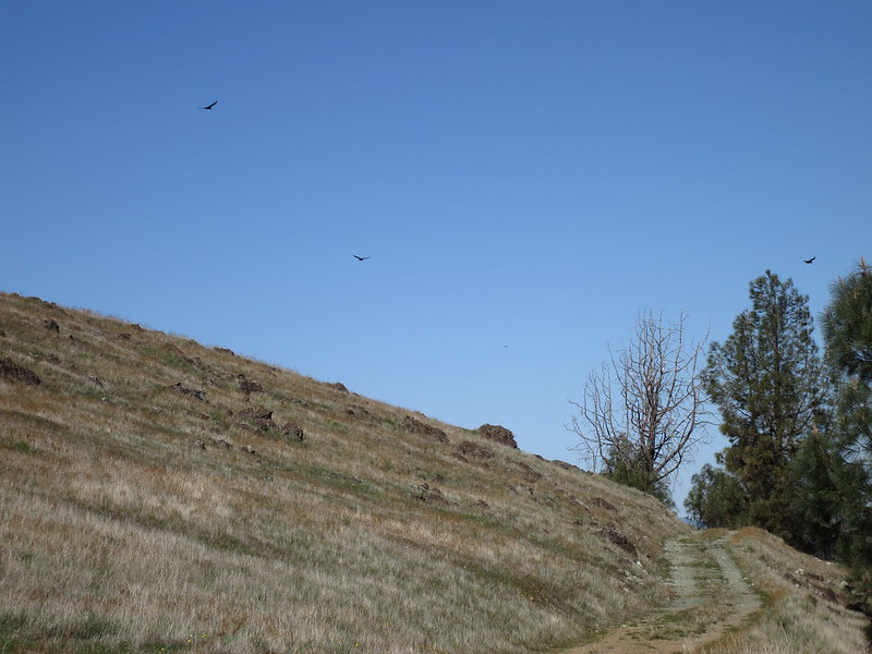
Turkey vultures floating over the Ohlone Trail in Del Valle Regional Park.
As I drew closer to the trail terminus in Del Valle Regional Park, the land grew wetter and greener again. Shady trees and enthusiastic undergrowth made a cool tunnel to walk through. I startled a few mule deer off to the west of the trail just a mile or so from the end; turkey toms were booming to each other to the east.
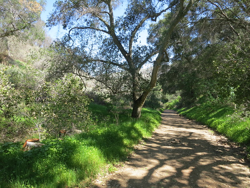
Shady trees and lush greenery along the Ohlone Trail in Del Valle Regional Park near Lichen Bark Picnic Area.
At one point I thought “Damn, the road must be closer than I expected, ’cause that really sounds like a truck.” A minute later, a park truck rolled by. The rangers nodded to me and continued up the trail, which was a fire road at this point.
A little after noon, I could see the car, parked safe & sound where we had left it. I hadn’t felt like getting water on the way home (water laziness is a major backpacking vice of mine), so had cruised 10 miles on 1 liter and was feeling a bit dry. I filled up my water bottles in the Lichen Bark parking lot, chugged half of one, and got in the car to drive home.
It was just past noon and I had already hiked 10 miles and climbed 1042 feet. Bam! Now that’s a Tuesday, amirite?
I arrived home about an hour later, texted Russell to know I got through fine, and collapsed on the couch to stuff my face and rest.
Shake it down
This trip gave me the opportunities I was looking for to try out my new gear and food systems, as well as practice a longer hiking day. I call that a success!
Gear
I picked up a super dorky seriously practical GoLite Chrome Dome trekking umbrella to use in the hot hot heat of the California desert, and had only used it in rain so far. It was a blustery day in Oakland, and within two blocks I struggled against the wind with the ‘brella, and heard a strut snap.
Crap.
Using duct tape and some sort of big toothpick intended for nail care that I swiped from a hotel bathroom, I did a quick repair job on the strut before heading out.
On the trail, the umbrella was great for keeping sun off me. I didn’t bring a hat with me, to force myself to use the umbrella, and did manage to not get a painful sunburn — always the goal. I was hesitant to use it in much wind, though, and so didn’t use it all the second day, which was windy as all get out. It passed my test well enough to take on the hike, but I’m not sure what I’ll want to do in wind. I’ll have a hat along for sure.
The sky was crystal clear, so I didn’t set up my tarp, and I got to see how the bivy worked on its own. This trip was the maiden voyage for my MLD Superlight Bivy Sack. As part of my sleep system, it acts as a wee tent for my sleeping bag to keep heat in (and bugs out?).
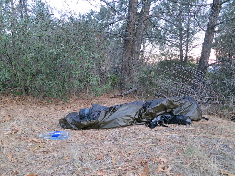
A pile of trash bags, or my campsite in the morning? Bivy sack, sleeping bag, pack under feet.
Though it looks like a limp trash bag from a few yards away, I loved how it performed. I started out with it fully zipped, but quickly changed that, as the condensation from my breath was sliming up the inside of the sack. With the top unzipped around my head, the bivy kept drafts out of my quilt when I turned like a rotisserie chicken onto my side, my back, my side, my back, ad infinitum.
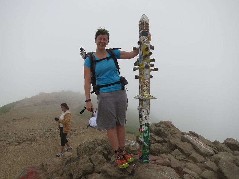
Happy to be at the summit of Mission Peak, despite the fog.
Though I had loved hiking in the Oiselle Distance Shorts with the liner cut out on my last hike, I wanted to try out a skirt I had grabbed on clearance: the merino wool Icebreaker Villa Skirt. In brief, I didn’t like it. I kept flashing the scenery while crouching to take photos — good thing no one was around — and it hung below my knees, keeping me from cooling off during the day.
Food
On Day 1, I managed to eat a full day’s menu — 3000 calories of hiking food. I ate every hour or two, which kept my energy levels fairly constant. On Day 2, I knew I wouldn’t be out all day, so I avoided the foods I didn’t want: the Meal Pack bar, and granola. By the end of the JMT, I had been real sick of granola, and I was reminded of that quickly here. While I did manage to fit my whole serving into the same peanut butter jar I’m using for suppers, it was a tight fit, and it didn’t seem (or taste) worth the hassle.
I dreaded the Meal Pack bar, hard. I just can’t. They’re cheap, dense, and compact, but by this third or fourth time I’d eaten one, they started to taste acidy, like that saliva you get right before hurling, but not quite as bad. Just, no. I’m working on replacements for these calories in my meal plans.
Everything else was fine. The Fritos were particularly delicious.
Mileage
My first 20 mile + day was easier than I expected. It didn’t take fast walking, just continuous movement. I got to my planned campsite before dark, even having started at 9:30 am, and after taking that wrong turn. Don’t get me wrong — I was certainly tired, but it wasn’t actually all that difficult.
And I loved seeing the landscape under different light as the sun made its descent.
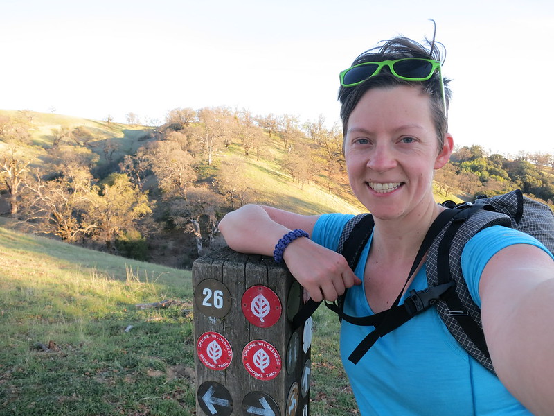
At Ohlone Trail marker 26 by the Doe Canyon Horse Camp area.
I was pretty pooped the day after the trail, so I anticipate being dog tired for the first few weeks of the PCT. Now I know that I am physically capable of walking the miles. ‘S a good feeling.
[Note: This trip report describes my experience, which might be similar to or wildly different from yours. The time listed is how long it took me, not a recommendation or guideline.]
So I’m gearing up for a 2015 PCT attempt, and I live in Oakland as well. I asked around about overnight hikes accessible from public transit and I was pointed the way of this story and the Ohlone trail. I called up the EBRP and asked about camp permit availability and the pickings for this weekend (a 3-day weekend) are very slim, and then I asked about if there would be enough trees to set up my hammock and the person on the phone said hammocks were strictly forbidden for LNT reasons. That doesn’t jive with my experience at all… I dunno.
Anyway, so my thought was that I’d just try to stealth camp. Did any ranger ever ask to see your permit? Were there enough trees on this trail to hide a (discrete) hammock? Do you think this would be at all difficult?
Thanks!
Hi Stella, that’s so exciting about your 2015 PCT hike! I’ll be rooting for you.
I didn’t personally have my permit checked on the Ohlone Trail, but I would guess the rangers would be out on weekends in full force. As for trees for hammocking, there were plenty around Maggie’s Half Acre at least. I don’t see anything in the EBParks online backpacking regulations prohibiting hanging, so that is news to me. Best of luck sorting the permits & dates!
Cool, thanks, Alice! I think I’ll probably just put it off and do it later as a 2-day, and just try to book it one of the days (I have almost all of your same goals in a shakedown ^_^). That way I can get a permit ahead of time, and bring the actual shelter that I intend of using which doesn’t require trees.